user_image

Gabriel Barrett

Urban planning and computer science student at MIT with interests in public transit and housing

EXPERIENCE

INTERESTS

  • Public Transit
  • Housing
  • Maps/Mapping
  • History

SKILLS

  • Python (Pandas, PyTorch, Django...)

    90%
  • GIS (QGIS, ArcGIS)

    90%
  • R

    80%
  • Rhino3D (Urban Network Analysis Toolbox)

    70%
  • Java

    70%

PROJECTS

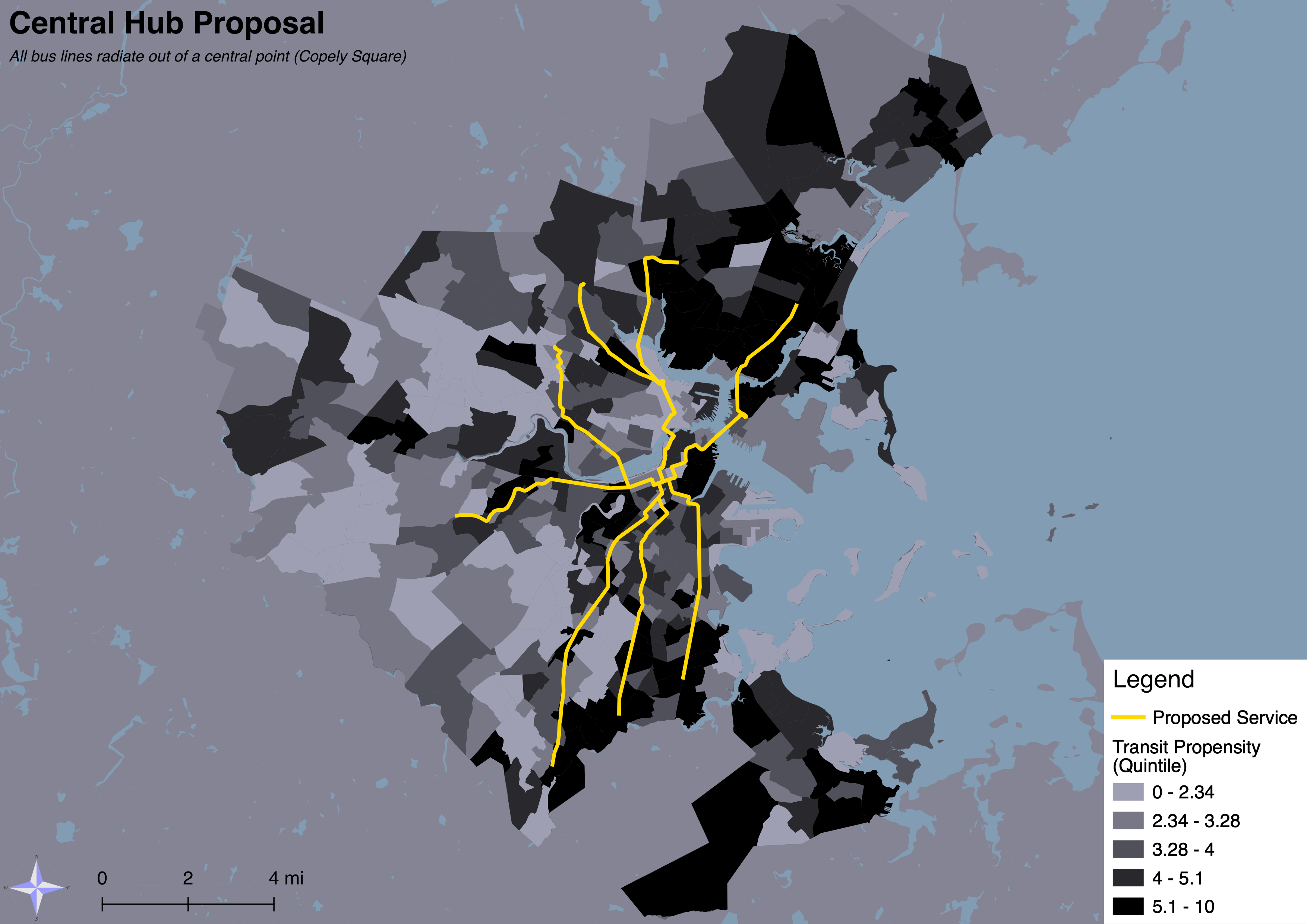
Map of proposal for night bus service in Boston

May 2023 – Continuing for MCP thesis

Night Owl Buses in Boston
Undergraduate thesis studying whether overnight MBTA bus service can meet the need workers who currently lack any transit options (no link yet but I plan on adding a blog post soon)
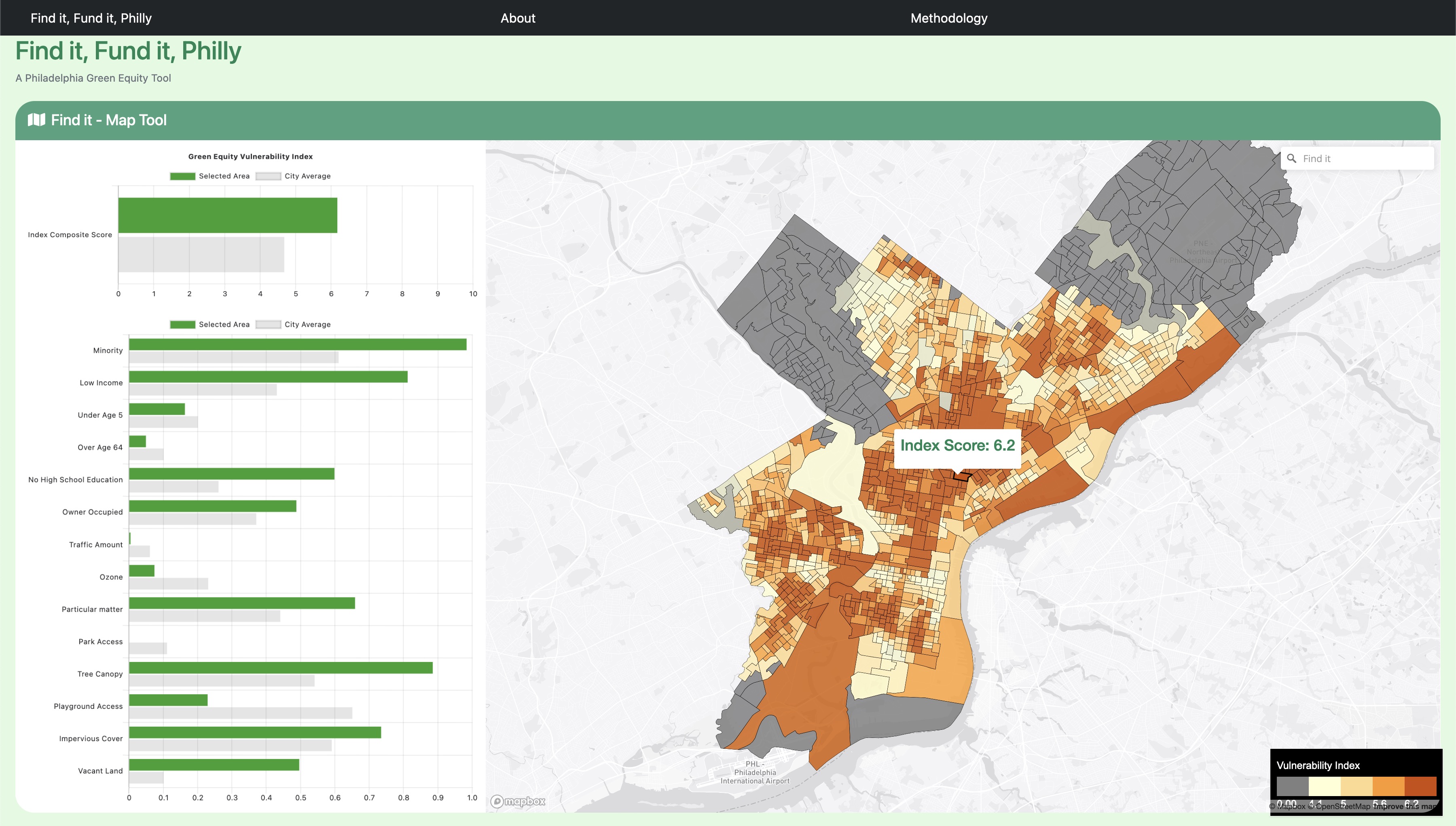
Home screen of Find it, Fund it, Philly Website

Dec 2022 – Completed (prototype)

Find it, Fund it, Philly
A website meant to help local Philadelphia community organizations identify problems in their communities and connect them with funding resources
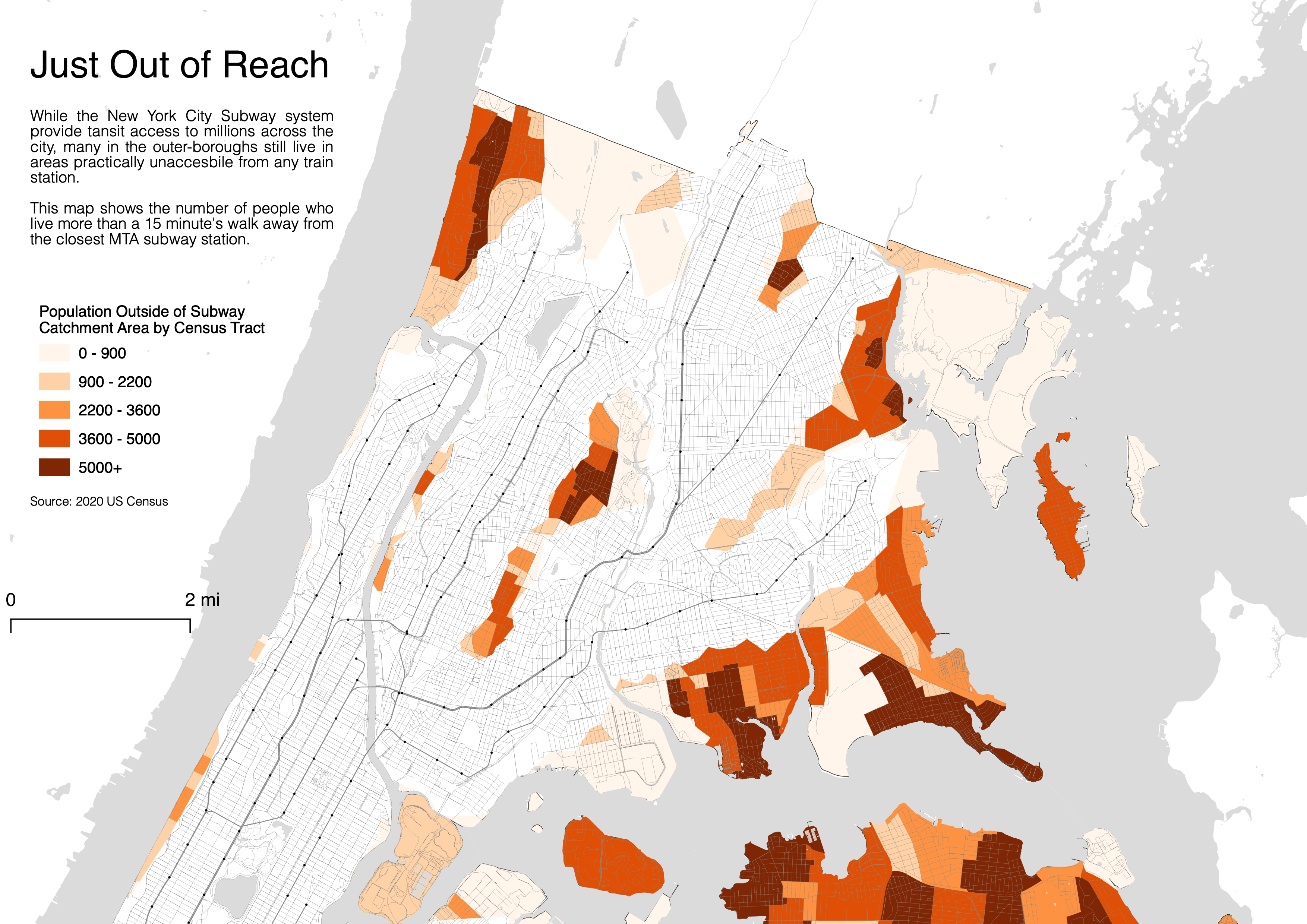
Map of transit deserts in the Bronx

May 2022 – Completed

The Long Way Round
A report on transit deserts and deficiencies in The Bronx
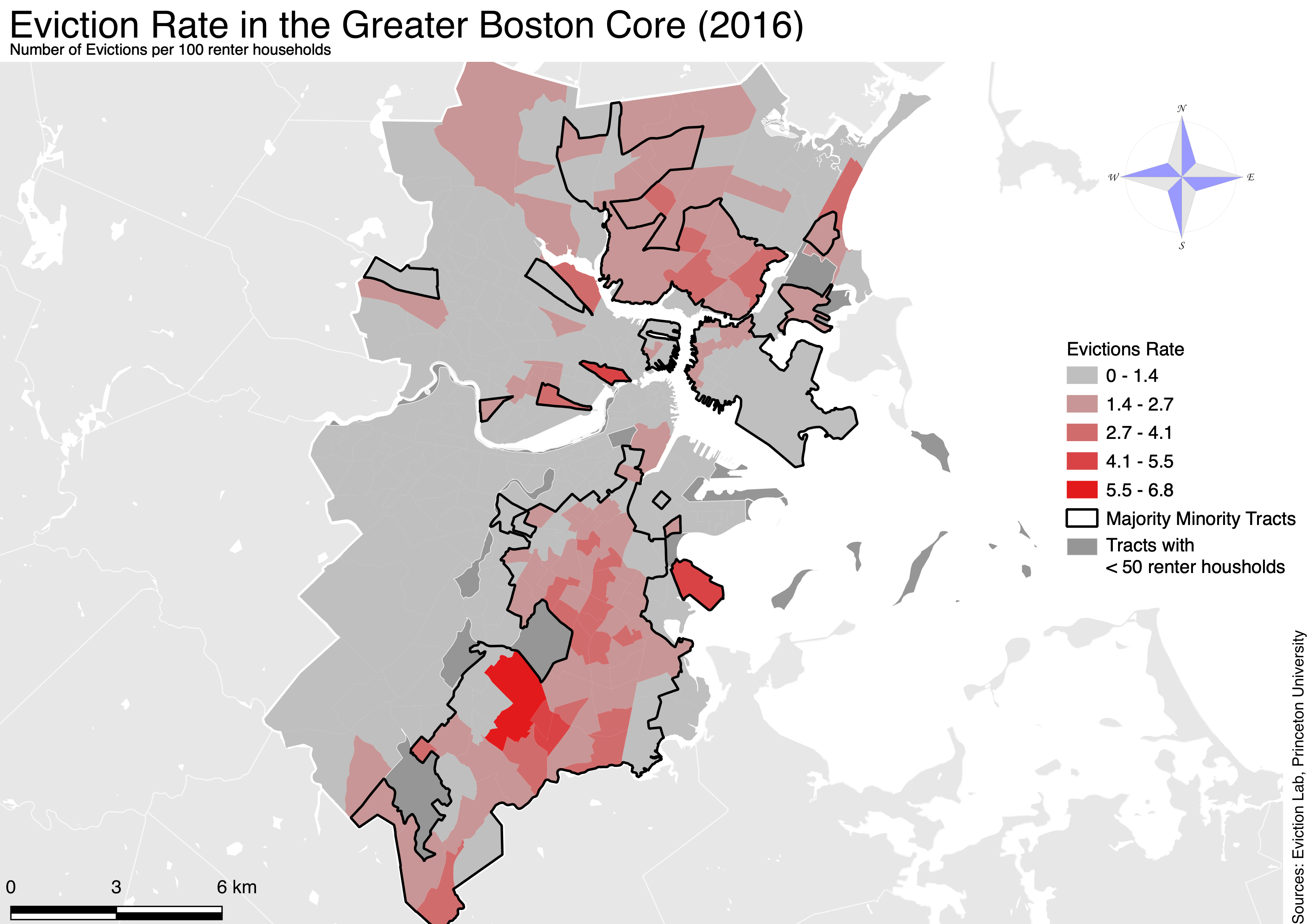
Map of transit deserts in the Bronx

May 2021 – Completed

No Place Like Home
An Analysis on Pre and “Post” Pandemic Evictions in Boston
Image of yellow car

Apr 2021 – Completed

The Hidden Impacts of Vehicle Parking and Parking Policy
A study on the effect of parking minimums on the city of St. Paul
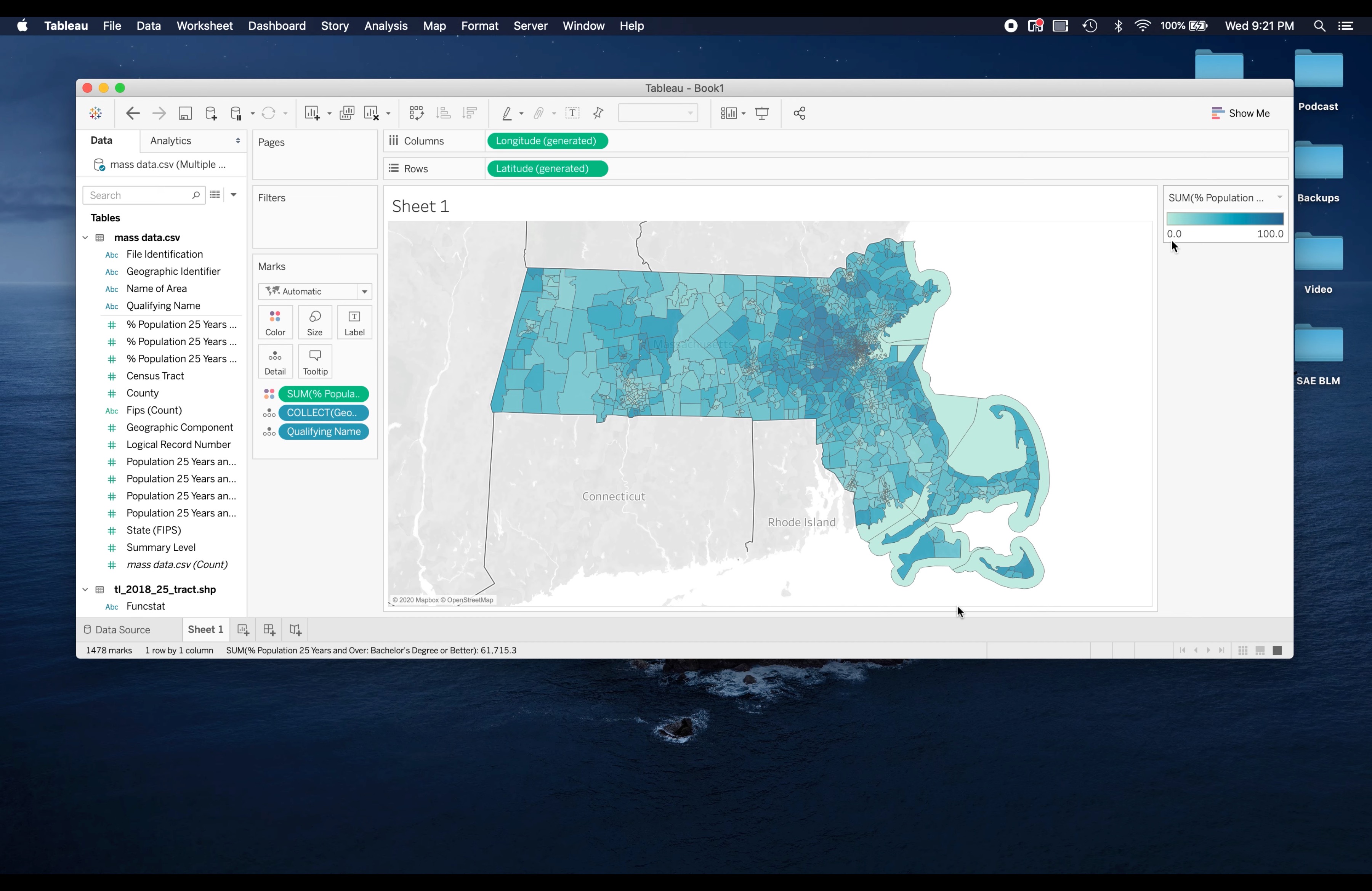
Screenshot from Tableau Mapping Tutorial

Aug 2020 – Completed

Mapping Census Tract Data with Tableau Tutorial
Tutorial video on how to use Tableau to map census data originally made for Living Wage Calculator work